

A versatile framework to visualize geospatial data in the browser.
Giro3D is an open-source JavaScript framework for visualizing and interacting with heterogenous 2D, 2.5D and 3D data.
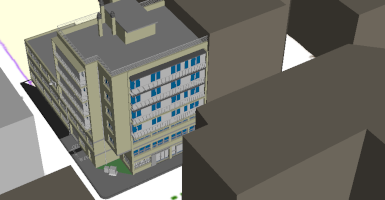

Fully-configurable open-source web application for 3D visualization.
Piero is an open-source web application for visualizing and interacting with 2D, 2.5D and 3D data, powered by Giro3D.